The Best Hikes in Washington State
Best Washington Hikes from the North Cascades to the Olympic Peninsula
For nine adventure-filled months, my girlfriend, myself, and our two dogs traveled extensively throughout Washington State, spending virtually every weekend in the outdoors and wearing our bodies down to the brink of exhaustion. Washington is home to some truly world class hikes, as the trails are extremely well-maintained and National Forests and National Parks are aplenty. Towering peaks hug Seattle to the east and west, making for an abundance of outdoor adventure opportunities all within a four hour drive. Before the hikes fade into distant memory, I thought it worthwhile to share some of my best hikes in Washington State. For those that are dog-friendly, I’ll add a set of paw prints (🐾). Take note that most hikes require a National Park Pass or Discover Pass for parking unless you pay at the trailhead.
The Enchantments
North Cascades - 19+ Miles One Way - Overnight Permit Required
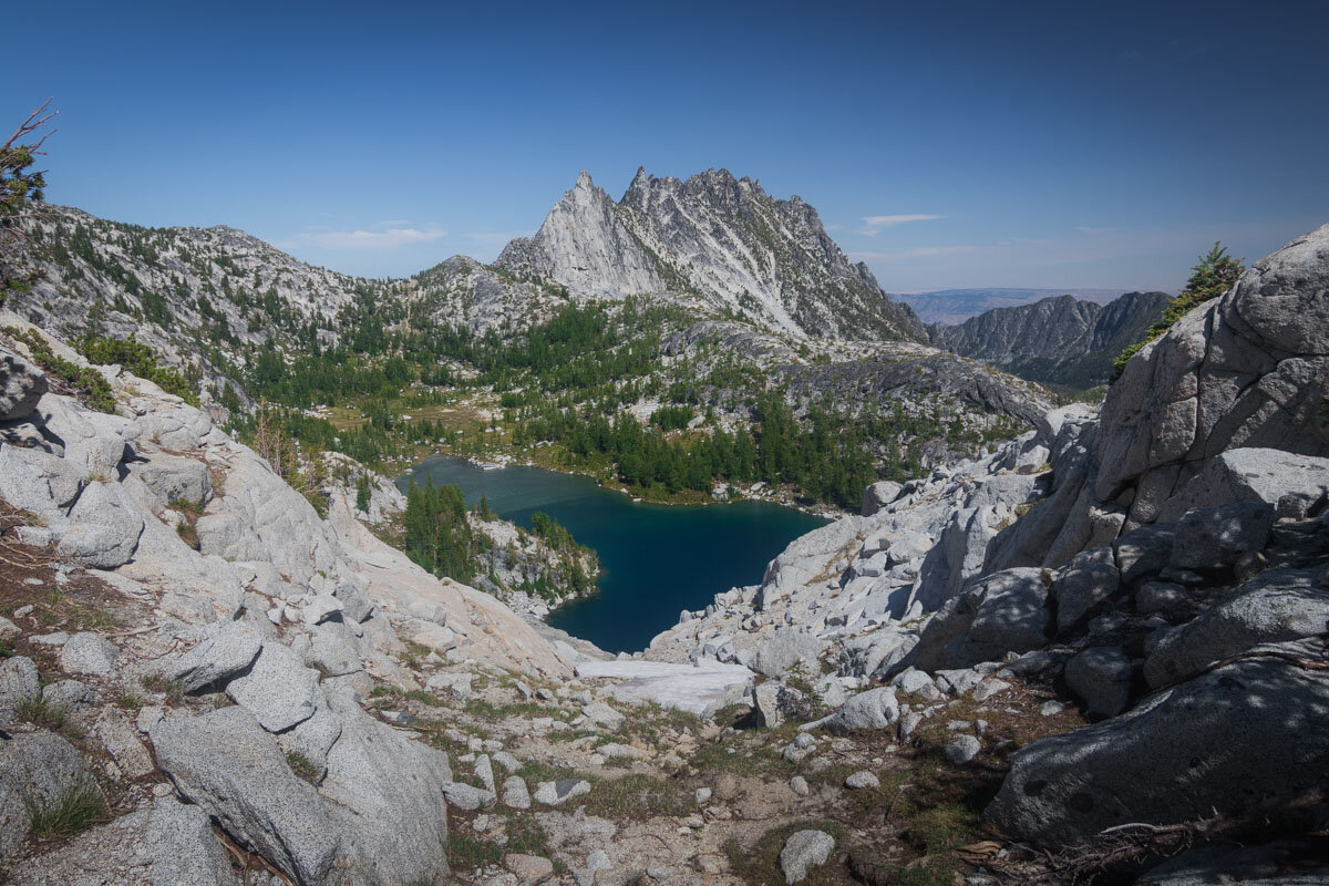
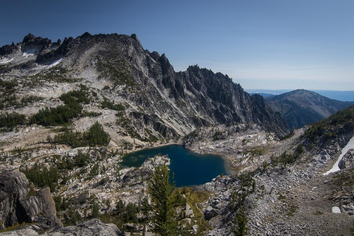
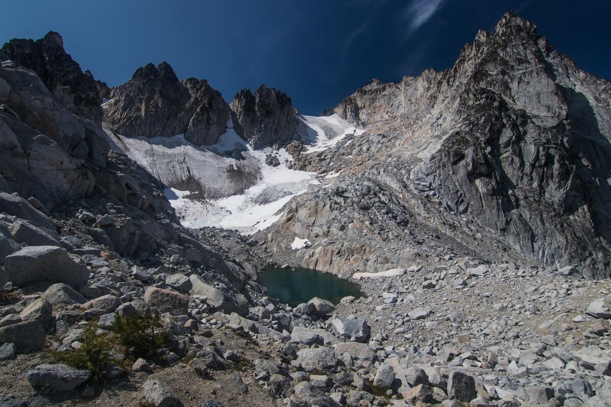
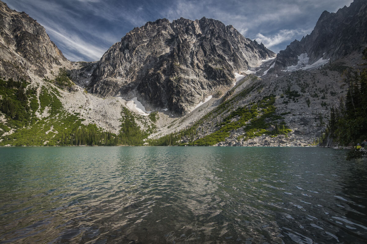
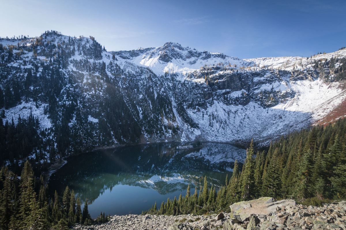
Considered to be the crown-jewel of Washington hikes, The Enchantments is a grueling 19 to 23 mile hike up into the alpine lakes wilderness and features the stunning Colchuck lake, Dragontail Peak, Prusik Peak, and much much more. Not to be forgotten is the daunting Aasgard Pass which gains more than 2,000 feet in under a mile. At its height, you’ll be hiking at an elevation well above 7000 feet, so pack for cooler temperatures. If you want something shorter, just hike to Colchuck Lake for a fairly moderate 10.1 mile out-and-back.
Overnight permits are ridiculously difficult to obtain. The random lottery system changes from year to year, but typically the process involves applying for three start dates and choosing a permit zone — Core Enchantments, Snow Lake, Colchuck Lake, Stuart Lake, or Eightmile/Caroline zones. The Core Enchantments permit is the most sought after and lets you camp in any of the zones. We got the Colchuck Lake permit and honestly thought it was the best camping location and served as a good base to climb Aasgard into the Core. You can expect the lottery to open mid-February and run into March.
If you’re wondering why it’s so difficult to get a permit, that’s because thousands of people are applying for almost no spots. Take a look at the quotas for 2019 and keep in mind that the season is really just 2 to 3 months:
Core Enchantments Zone = 24 people per day
Colchuck Lake Zone = three groups per day
Stuart Lake Zone = four groups per day
Snow Lakes Zone = five groups per day
Eightmile/Caroline Zone = three groups per day
After you inevitably fail to obtain a permit during the lottery, you still have a couple of more opportunities with even less of a chance of success. A few weeks after the lottery closes, any unclaimed permits will be re-released to the system. In a mad early-morning scramble you have literal seconds to snatch up an available permit. We got incredibly lucky with someone dropping a mid-August Colchuck Lake permit from their cart about 10 minutes after re-release - so keep refreshing. Third option is to try to obtain a day of walk-in permit. All of the information can be found on the Recreation.gov website.
Unless you get extremely lucky with obtaining a permit, you’re going to have to do this hike all in one day while coordinating transportation between each trailhead. Shuttle services can be arranged for a steep fee, but most hikers bring two cars and park them at Stuart Lake trailhead and Snow Lake trailhead.
Shi Shi Beach and Point of Arches
Olympic Peninsula Coastline - 8 Miles Round Trip - Day and Overnight Permit Required
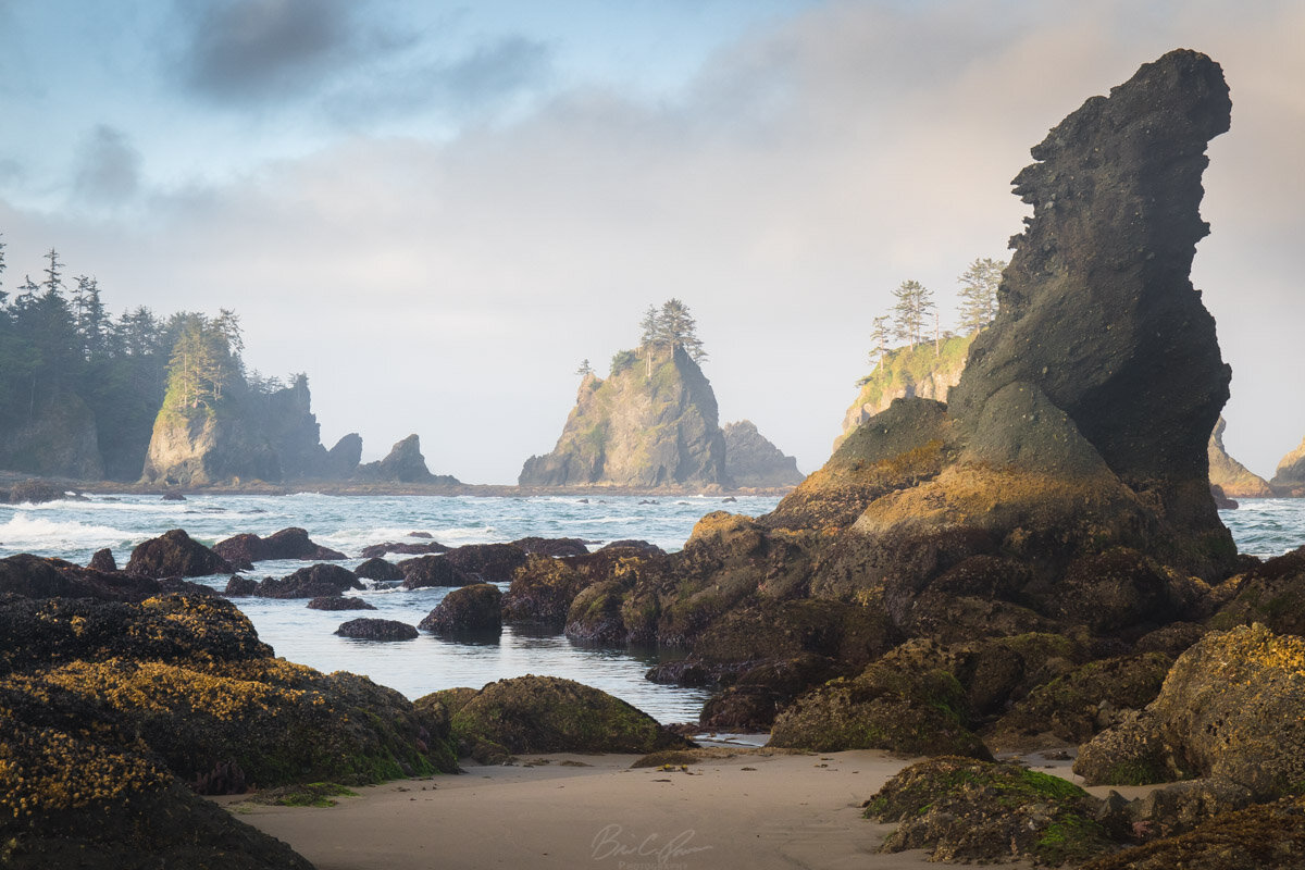
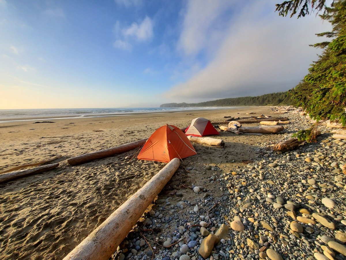
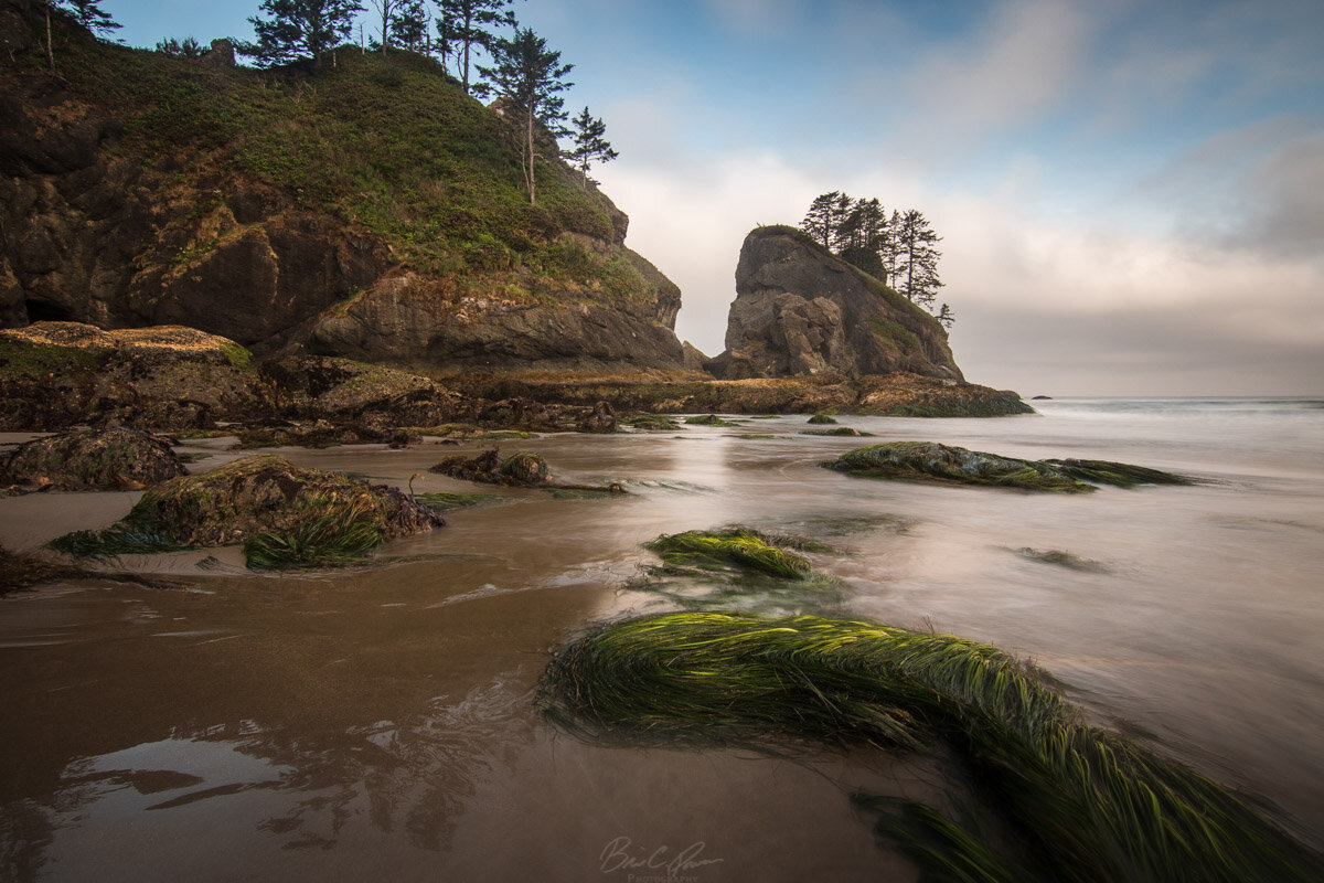
A great beach camping spot in Washington State is Shi Shi Beach. The trail is a muddy (and I mean MUDDY) trek through dense forest for about two miles before descending a switchback down to the beach. From there it’s about two more miles of sandy beach walking to reach Point of Arches. Along the route you’ll find numerous campsites that have been sectioned off with driftwood and contain small fire pits. Use any of the thousands of pieces of driftwood for a campfire. The hike is moderate at worst.
It’s a good idea to carry a tidal chart and a topo map of the area. There are a number of headlands south of Point of Arches that are either inaccessible or treacherous to cross during certain tide levels. A free tidal chart can be picked up at Olympic National Park Visitor Centers. Also note that a Makah Recreation Pass is always required and a Wilderness Camping Permit is necessary for overnight backpackers. Reserve the camping permit in advance through the online system.
Heather - Maple Pass Loop 🐾
North Cascades - 7.2+ mile Loop - No Day Permit Required
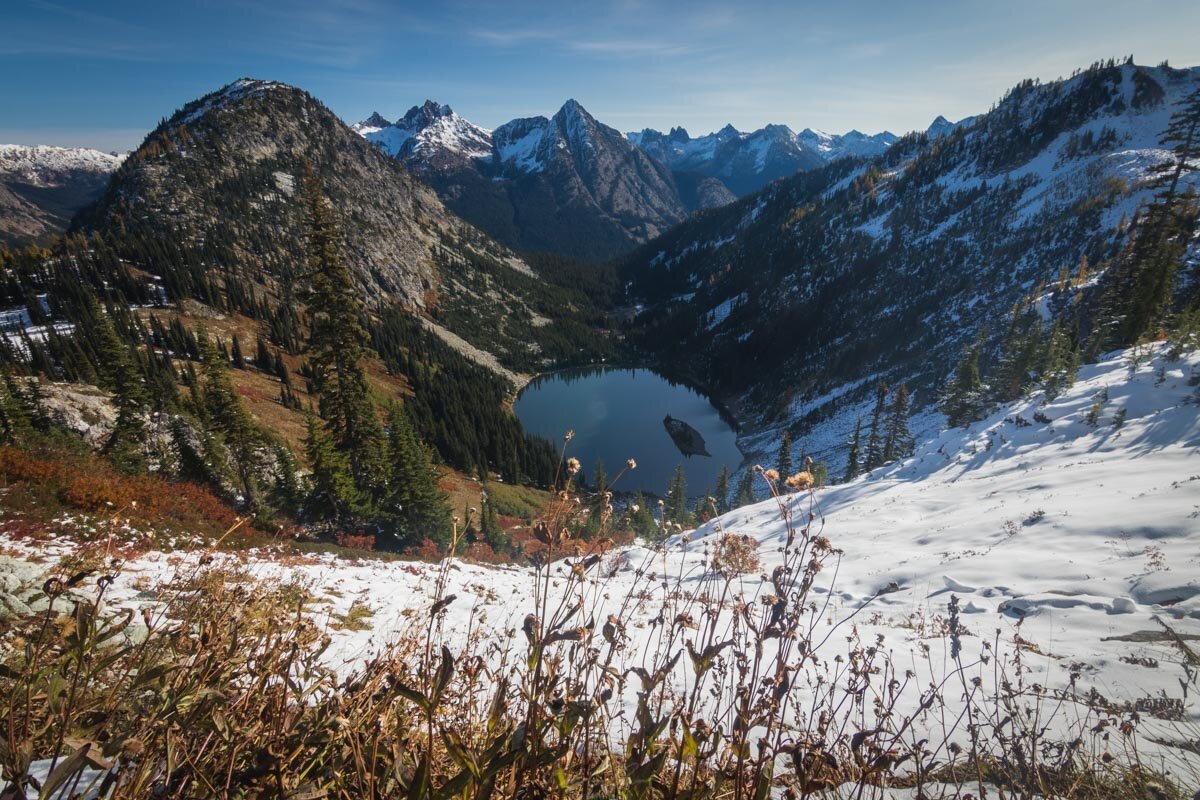
Maple Pass Loop is a favorite Fall hike in Washington for good reasons. Golden larches fill the mountainside and create a dazzling display among the rugged peaks of the North Cascades. Time it right and you’ll find a coating of fresh snow that makes the larches pop in color as the snow begins to melt off the needles. Summertime is just as good with the emergence of wildflowers throughout the pass. The trail boasts just over 2200 feet of elevation gain and is a popular loop for dogs and their human companions. A clockwise hike up the loop will prove to be a much steeper climb, but leaves a gradual descent.
Mt. Ellinor 🐾
Eastern side of the Olympic Peninsula - 6.2 Miles Round Trip - No Day Permit Required
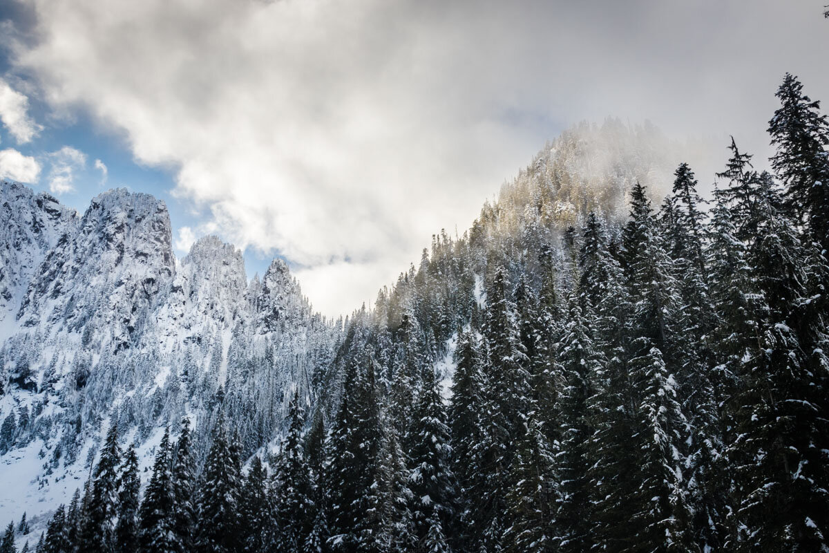
This was the first hike that made me fall in love with the Washington landscape. A mere 2.5 hours away from Seattle, Mt. Ellinor is a hard hike due to the rapid gain of 3300 feet. We experienced dense clouds and fog for virtually the entire climb before the magnificent formation pictured above emerged from the clouds. Along the route you’ll be met with intimidating families of mountain goats. It’s a dog-friendly trail, but keep the pets a safe distance away from the goats.
The top of Mt. Ellinor will give you fantastic views west into the Olympics and is one of the best challenging, bang-for-your-buck hikes in the state. Unless you intend to add some distance to the hike, skip the lower trailhead parking and continue to the upper trailhead lot. Like every Washington hike, the trailhead fills up fast, so you should arrive by 9am.
Chain Lakes Loop 🐾
Mt. Baker-Snoqualmie National Forest (North Cascades) - 6.5 Mile Loop - Permit Required for Overnight Camping
There are far more popular hikes in the Mt. Baker area, but Chain Lakes Loop offers far more tranquility compared to the overwhelming crowds of nearby trails or Artist Point. There are a handful of areas to hop on the trail, but we opted for the upper parking lot at Heather Meadows Visitor Center because it meant we’d get the steepest climb out of the way with fresh legs. Starting at the Wild Goose Trail we climbed steadily to the Artist Point parking lot. From there we darted through an intimidating mass of zombies… er, I mean visitors.. across the parking lot and onto the Chain Lakes Trailhead.
Assuming you’re following the route we took, you’ll have dramatic views of Mt. Baker for most of the first half of the hike. A mile or two beyond the Artist Point parking lot, the trail descends through forest down to several alpine lakes and is a super gradual walk from there. Slowly it’ll gain again until the decently steep Herman Saddle that marks the 5,400 ft. pinnacle of the trail. After that, it’s all down hill until Bagley Lakes near the Heather Meadows Visitor Center.
Lake Twenty Two 🐾
North Cascades Mountain Loop Highway - 5.4 Miles Round Trip - No Day Permit Required
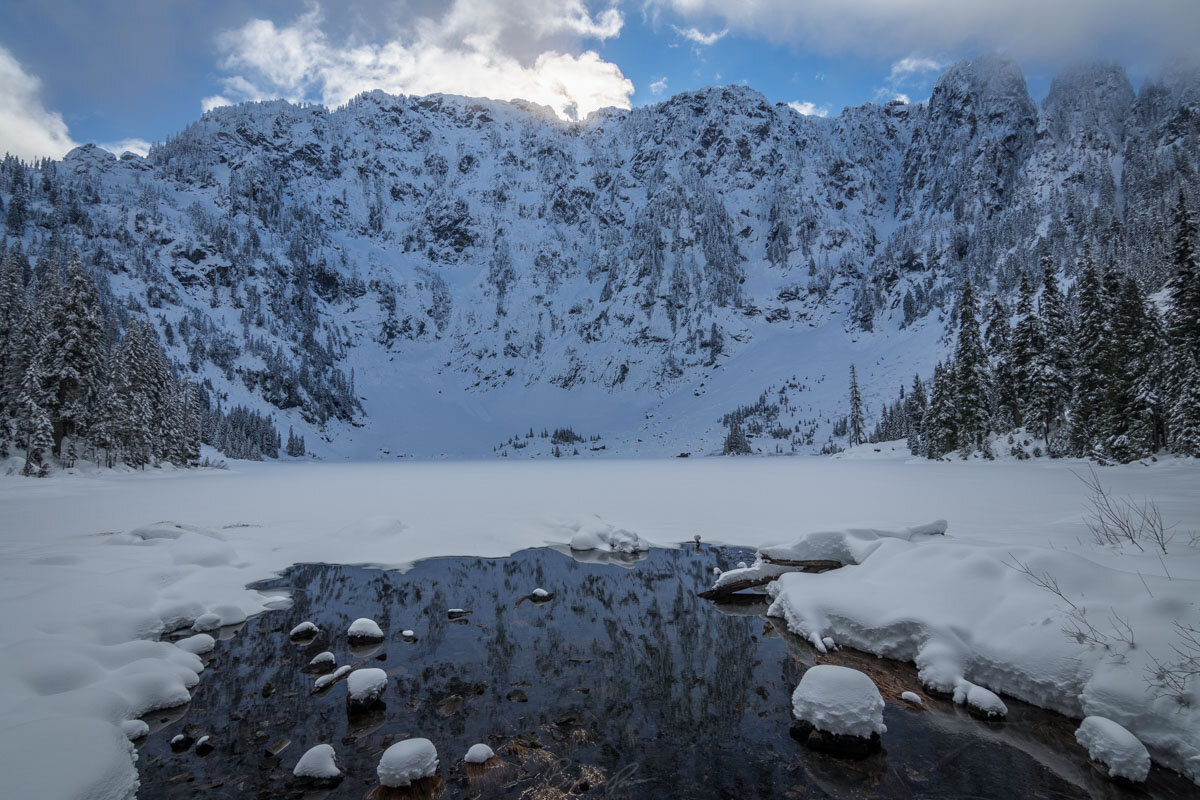
So Lake Twenty Two is a hike I list for a couple of reason. First of all, it’s extremely close to Seattle (about 75 minutes away) so it doesn’t require a half day of driving. Second, it’s a fantastic winter snowshoeing hike and is one of the few areas in the Cascades that actually tends to be accessible in the late winter/early spring. If you’re thinking of doing this hike any other time of year, be prepared for dense crowds and no parking. Arrive very early regardless of season. Outside of those two reasons, I’d definitely suggest other hikes for more constant views, but Lake Twenty Two is a very accessible location for views of tall trees and a rugged mountain-face.
The trail is a well-maintained 5.4 miles round trip and brings you to the edge of Mount Pilchuck. Depending on the season and conditions, you may be greeted with waterfalls, avalanches, or Instagram modeling.
Hoh River to Blue Glacier Trail
Hoh Rainforest on the western side of Olympic National Park - 37.1 Miles Round Trip - Overnight Permit Required
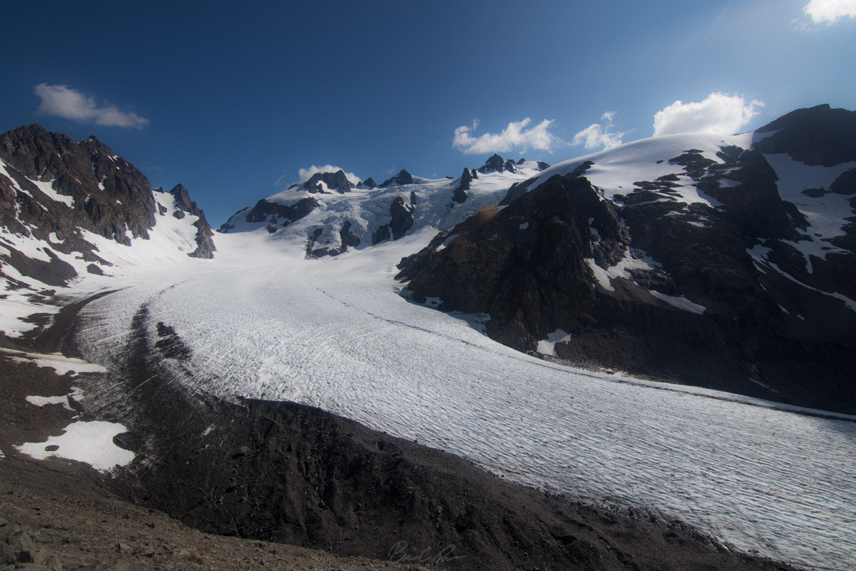
Let me preface this hike with a giant confession…. I hated it. It was the hardest, most painful, often most boring hike of my life. It was our first hike of the year beyond 7 miles and it was just a terrible choice. My past knee problem flared up and also migrated to my other knee only 8 miles into the 37. After the first 3 miles, the trail gets pretty repetitive for the next 9 miles. With that being said, many people consider it a fantastic hike. I’ll admit that had we had more time, it would have been much more enjoyable. The hike takes you up to the Blue Glacier on the backside of Mount Olympus.
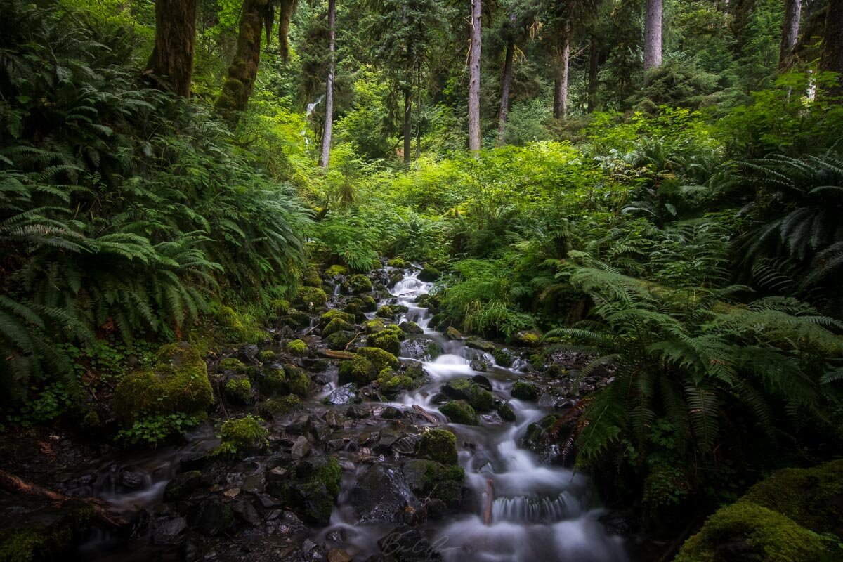
We decided to do the Hoh River to Blue Glacier trail over 2 nights, setting up camp about 15 miles in at Elk Lake. The first 12 miles of the trail is pretty much flat with no more than a hundred or so feet of elevation change. It starts off at the Hoh Rainforest Visitors Center where you can check out some awesome old-growth trees. There are a bunch of campgrounds every couple of miles that honestly looked pretty cool and also require permits. A lot of people backpacked to these spots and then day-hiked without gear to the top. At around marker 12 is when things get steeper for the rest of the way to Blue Glacier.
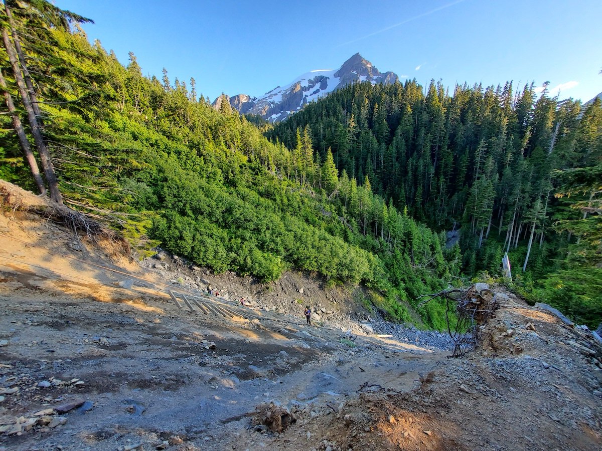
There are a couple of washouts after 14 miles that require some technical movement. Beyond that there is a suuuuper sketchy ladder spot about 17 miles in that looked dangerous with full gear on - not advised if you’re legitimately afraid of heights. We had our daypacks on so it wasn’t as bad, but there are spots with upwards of 3 consecutive rungs missing. After passing the Glacier Meadows campground at 17.1 miles, you’ll head a mile or so up a steep bouldering field towards the Lateral Moraine.
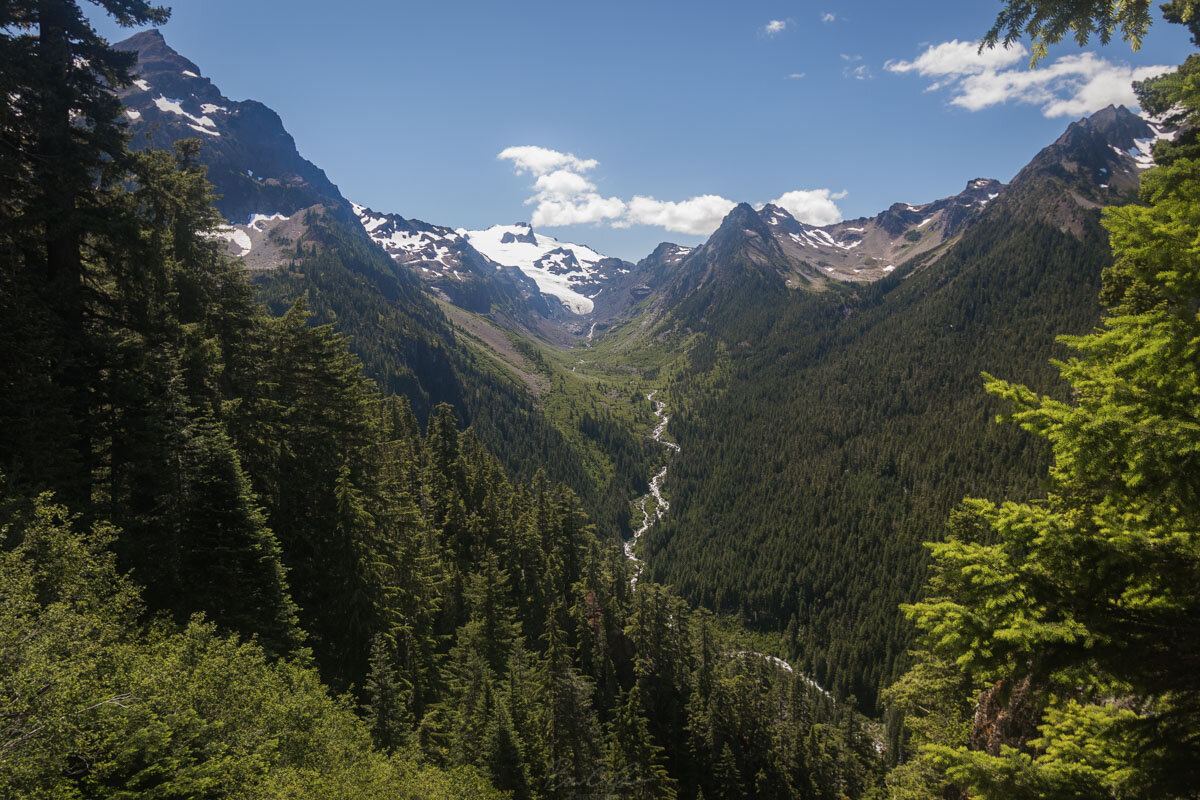
At the very top (the Lateral Moraine), you’ll see a marvelous panoramic view of the glacier - we stayed at least an hour just soaking in the views. After that it’s just a downhill hike about 18.5 miles while seeing trees you’ve already seen before :).
Sahale Arm
North Cascades - 12 miles Round Trip - Overnight Backcountry Permit Required
So I can’t speak directly to this hike because some major early-season snowfall made Sahale Arm treacherous to attempt - but it’s something I needed to include on the list. Sahale Arm is an extremely difficult 12-mile round trip scramble up to Sahale Glacier. Backpackers I met have raved about the dramatic views along the route and compared them to The Enchantments in terms of true beauty. Lots of bears also navigate the hills. For more info check out Washington Trails Association.
Honorable mentions if you’d rather something shorter, but more crowded:
Tolmie Peak - An extremely popular 6.5 mile day hike with views of Mt. Rainier.
Skyline Trail - 5.5+ mile trail in Mt. Rainier National Park. Great views, but millions of visitors if you arrive late.
Hurricane Hill Trail - Terrific views of Olympic National Park in only 3.1 miles.
Wallace Falls Trail 🐾- Inside Wallace Falls State Park, this easy/moderate 4.4 mile round trip hike showcases the awesome Wallace Falls.
Mt. St. Helens - Permits generally required, but there are several hikes in the area that are highly rated.
If you’d like to suggest any other hikes, give a comment below. We did a lot more hikes, but many of them are overcrowded hikes compared to the views they offer. I tried to put together a list of ones that truly feel special.

